Say HELLO to your fields

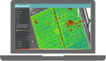
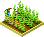
See your crops from a different perspective

Your Partners in Aerial Data

Aerosonda will build a customized program to acquire and analyze aerial intelligence to supplement your existing data.

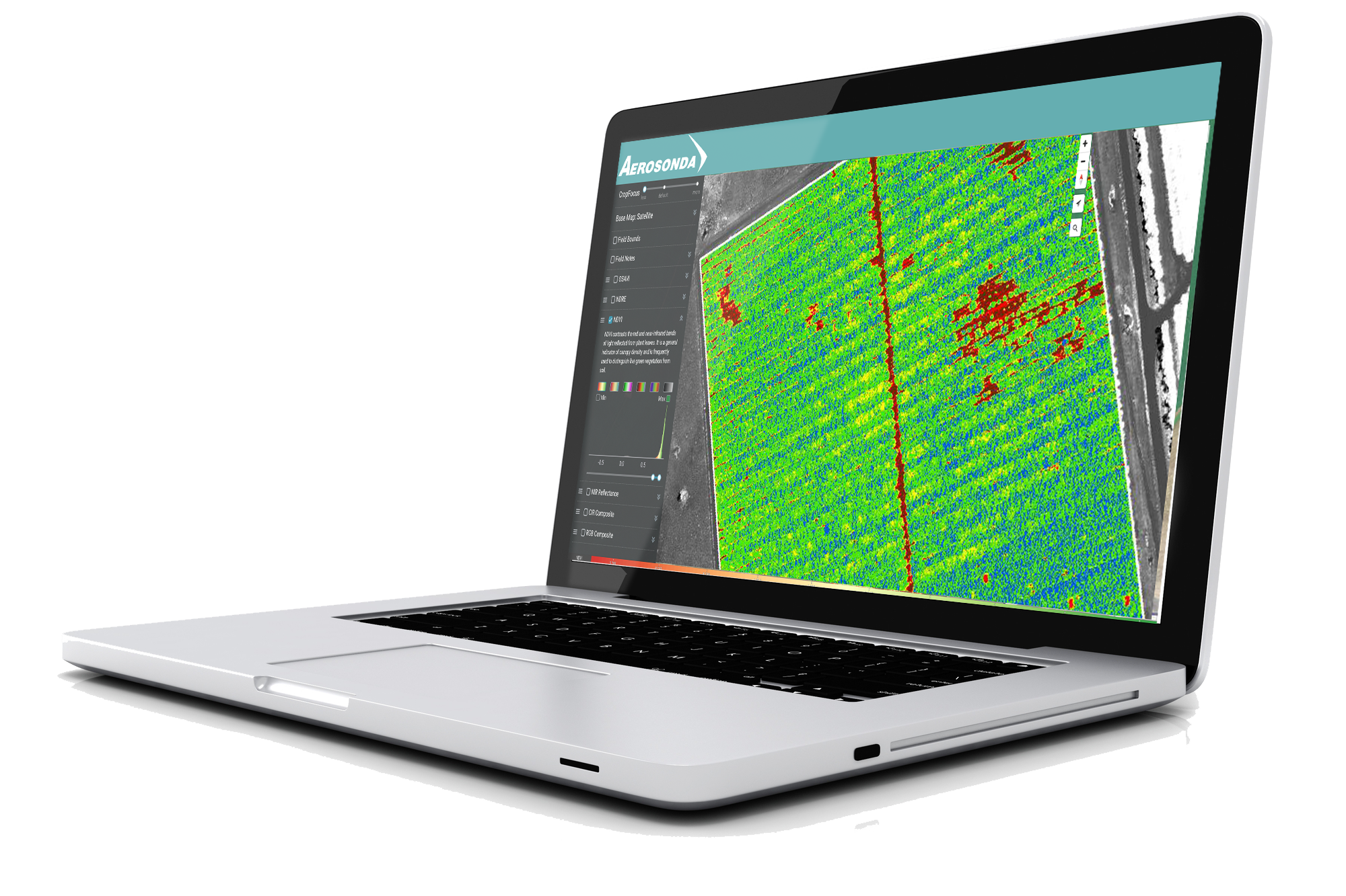
Regular updates of multi-layered images throughout the  growing season allows you to find and resolve problems,  to keep your crops healthy and maximize yields.

PrecisionPlatform

Keep your data secure and in one place
View on any device
Track changes over time on one screen
Select layers from NDVI, NDRE, RGB, OSAVI
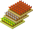
Create Chlorophyll Maps and Weed Detection Layers
Will Plug In to your existing software

Same Day Action Timeline

Image Acquisition
Image Processing
Image Analysis
1 hour
30 minutes
30 minutes
Ground Truth
Prescribe Actionable Results
2 hours

Make Informed Decisions - FASTER

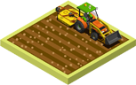
Use your zone maps from aerial data to ground truth the results and make quick, actionable decisions . Whether to spray, re-plant or evaluate test crops, these choices at critical points in the season determine the success of your crops.

Through our collaborative partnerships, Aerosonda offers flexible subscription models to provide you with the data you need in a form you can use to action your next steps.

What are we looking at?

Reflected Light

Healthy Plants

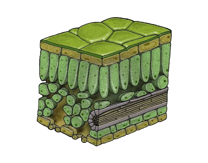
Reflect 50% more Infra Red and green light than healthy plants

EPIDERMIS
MESOPHYL
EPIDERMIS
GREEN
INFRA RED
NEAR INFRA RED

How do we see it?

High Resolution Cameras and Sensors

Satellites provide images of 1 pixel covering 30 ft of land
Drone resolution is 1 pixel for 1 inch of land
Drones can detect minute differences in light reflected from each plant
NIR Drone Sensors measure Infra Red light that accurately measures plant health

Processing Data to actionable Color Maps

Make Sense of the data
VARI Index made from RGB data to measure overall plant health and stress
NDVI from NIR data to provide early detection of stress and disease
NDRE Data from Multispectoral cameras provide soil health and Plant Vigor maps

What are the Benefits?

Detect

PLANT HEALTH
PLANT VIGOR
CROP STRESS
STAND COUNT
CROP LOSS
MONITOR DISEASE/PESTS
DRAINAGE IRRIGATION
SOIL HEALTH/EROSION

Remediate

ZONAL MAPS
VARIABLE RATE APPLICATIONS
INTEGRATE INTO FARM MANAGEMENT TOOLS
DRAINAGE REPAIRS
SOIL PRESCRIPTIONS

Speed

Get Plant Health data immediately
Ground Truth only problem areas
Take remedial action same day

Value

Concentrate resources efficiently
Use Agronomists’ time more effectively
Accurate variable prescription maps
Avoid applying fertilizers where not necessary
Reduce labor costs
Increase yields

The Flight Plan

Building a Precision Agriculture Program that's right for your crops

DATA SET

RGB
VARI

Plant Health Indices

RGB
VARI

Scouting Reports

RGB + NIR
NDVI

Advanced Plant Health

RGB + LiDAR
NDVI + Ortho + Thermal

Drought Stress

RGB + NIR + Red Edge + LiDAR
NDVI + NDRE + SAVI

Full Field Performance

RGB + Multispectral
VARI + NDRE

Vigor Variation

RGB + LiDAR
VARI + Elevation

Irrigation and Drainage

RGB + Multispectral
VARI + SAVI

Soil Analysis

RGB
VARI + Ortho

Damage Assessment

OBJECTIVES

Throughout the season
General Index of Plant health and monitor for plant stress and disease.
Early growing season
Replace underperforming plants. Early yield analysis
Mid to Late growing season
Assess canopy variation and early detection of plant stress
Throughout the season
To maximize water resources to affected areas.
Mid Season
Calculate Yield Predictions
Late growing season
Monitor change in plant vigor over time.
Post harvest
Prescribe Irrigation development.
Pre season and post harvest
Compare with Yield maps.  Requires ground pH verifications.
Ad Hoc
Remediate after extreme weather

Experts in extracting meaningful data from aerial imaging

10 years experience in Latin America
Now available in USA.
Specializing in Precision Agriculture
Single Flight missions
Whole Season Packages